Yonabaru Station (Shoji Kudaka)
One day as I was driving, a funny tune caught my attention coming from a radio, going “Afee! Afee!”
It was Okinawan folk song “Keibin Tetsudo Bushi,” a tune I often heard at the community center where I used to meet my friends in the 1980s. Though we’d mimic the humorous jingle, we didn’t realize that it is actually dedicated to Keibin Tetsudo, a railway service that used to exist in Okinawa. Although its official name was “Keiben Tetsudo”, the railway came to be commonly recognized as “Keibin Tetsudo”.
Keibin Tetsudo was a common mode of transportation for many Okinawans until it was discontinued during the Battle of Okinawa in 1945. Though the line is gone, around Okinawa there are still remnants of this important mode of transportation.
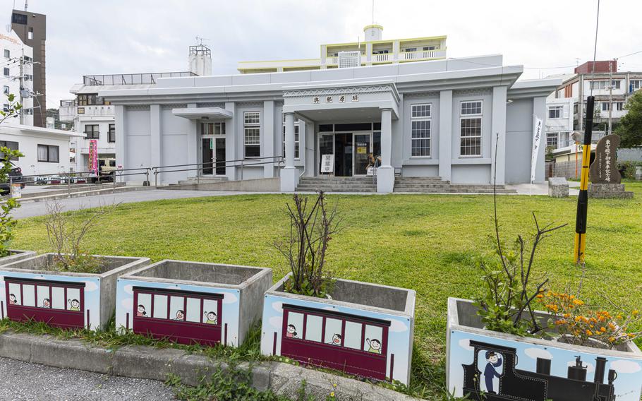
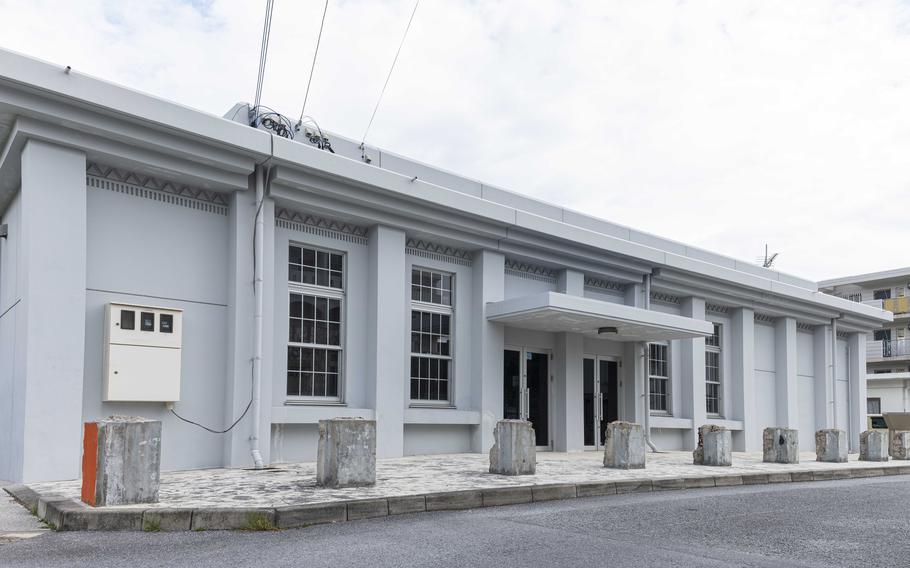
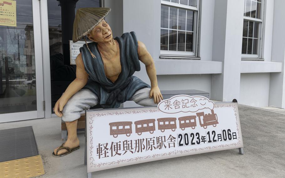
One place is at the Yonabaru Light Rail Station (Keibin Tetsudo Yonabaru Eikisha), where visitors can see old photos of the Keibin Tetsudo in action. After remembering the tune, I made a stop at the station to learn more about the rail’s history.
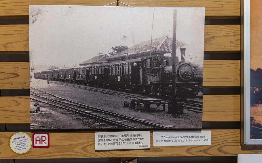
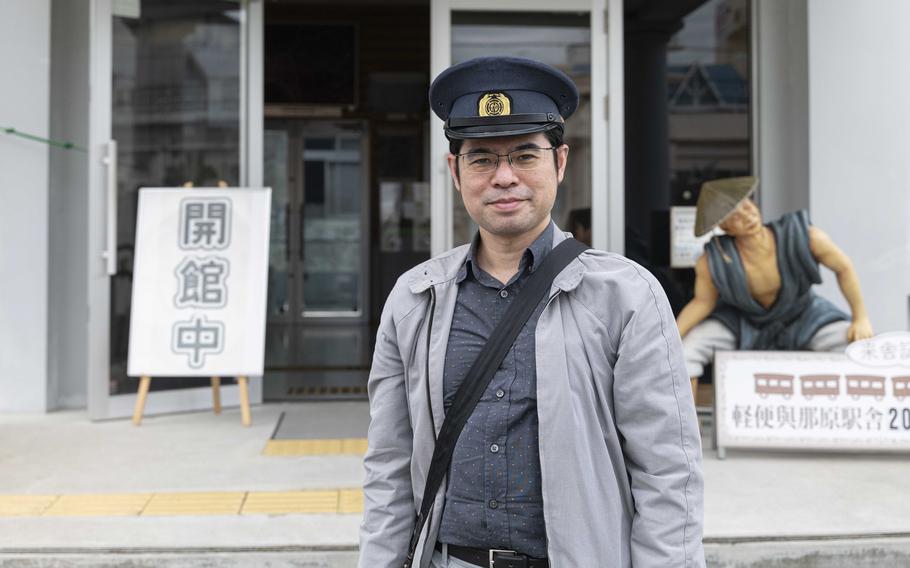
According to Daisaku Kina, a curator of the museum, the Keibin Tetsudo transported 3.28 million passengers in 1941, though the population was around 570,000 at the time.
As someone who was born and grew up in Okinawa in the 1970s, daily travel by rail rather than by car is beyond my imagination. Today, Okinawa only has one mono railway built in 2003 that covers the Naha City-area, so driving is the primary mode of transportation in the prefecture.
According to the Okinawa General Bureau, Keibin Tetsudo was first launched in Okinawa in 1914, connecting Yonabaru and Naha. Yanabaru was a logistic hub at the time for goods and materials coming from the northern part of the island before they were consumed in Naha.
In 1922, a line connecting Kadena and Naha was launched. With a line connecting Itoman and Kokuba in Naha City completed in the following year, Keibin Tetesudo came to cover the mid and southern parts of Okinawa’s main island. The railway was public transportation and also a means of carrying products from local sugar factories. When the war was approaching, it was used for military logistics as well.
“Keibin Tetsudo’s trains were steam-powered at first,” explained Kina. “Gas-powered cars were introduced after the Showa Era began in 1926. Although the trains back then didn’t run as fast as they do today, their speed still deserves respect.”
Kina noted, for example, around Showa 10 (1935), it took 24 minutes to go from Yonabaru to Naha. A train would go at 20 to 30 km/h on average.
“Given that it still takes about half an hour to go from here (Yonabaru) to Naha by car, transportation time has not changed much between then and now,” Kina said. “It took one hour from Yonabaru to Kadena, you would want to use the train if it was still in service today.”
The station’s photos of the former line demonstrated just how impactful it was on the daily lives of Okinawans. There is even an augmented reality (AR) video visitors can watch on a tablet borrowed at the office that shows the train arriving at the station.
Even though I could see the photos and the modern recreation of the Keiben Tetsudo making a stop at Yonabaru, it was difficult for me to grasp it as reality. However, the display and folk song I listened to as a teen prove that it’s a piece of Okinawa history that is lost but not forgotten.
Yonabaru Light Rail Station
(Shoji Kudaka)
(Shoji Kudaka)
(Shoji Kudaka)
(Shoji Kudaka)
GPS coordinates: 26.20031, 127.75621
Hours: 10 a.m. – 6 p.m.
Admission Fee: 100 yen
*Closed on Tue, Dec. 29 through Jan. 3
*A free parking space is available by the building.
*In addition to the photos and video, there are also remnants of pillars used for the original building of the station attesting to its history.
Other locations that exhibit remains of the Keibin Tetsudo railway
Yafuso in Urasoe City
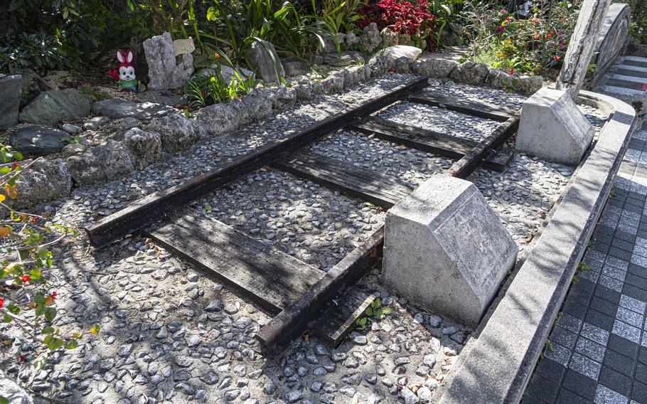
(Shoji Kudaka)
GPS Coordinates: 26.248560, 127.710885
*At this location, part of a railway that connects Naha and Kadena is exhibited.
Tsubogawa Higashi Koen
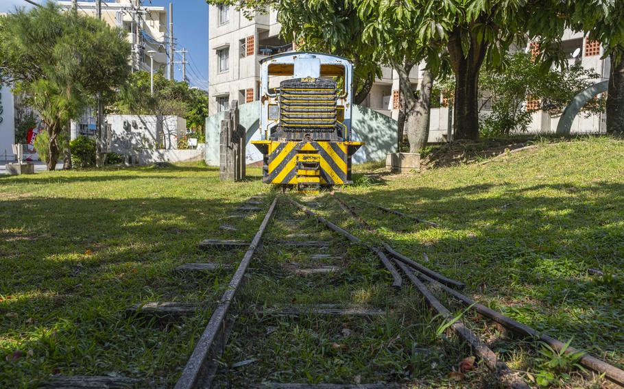
(Shoji Kudaka)
GPS Coordinates: 26.205023, 127.682069
*Exhibited this location is part of the railway along with the “sugar train”, a type of train mobilized in Minami Daito Island to transport sugar canes.
Naha Bus Terminal
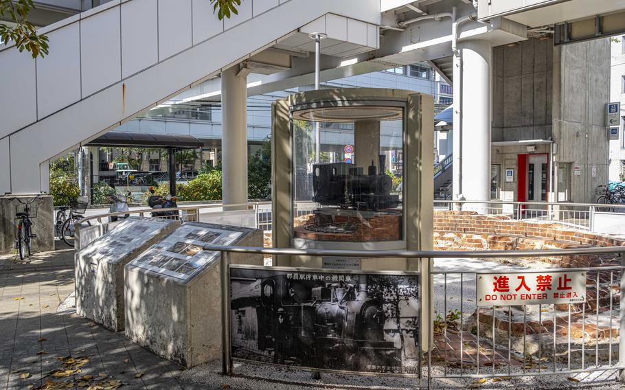
(Shoji Kudaka)
GPS Coordinates: 26.211475, 127.675886
This location used to be a terminal for Keibin Tetsudo. To commemorate the history, a turntable is exhibited there.