Teenu Hama (Photo by Shoji Kudaka)
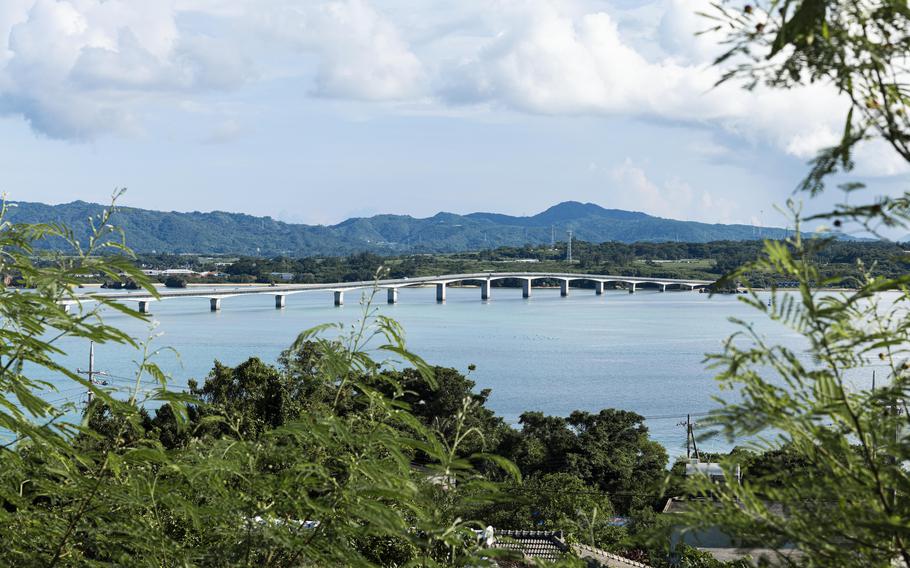
On a hot summer day in August, I headed to Kouri-jima, an island off the coast of Okinawa’s Nakijin Village. The last time I went there was five years ago, the weather was cloudy and a little rainy. This time, however, the sky was clear with nothing to block the strong sunlight.
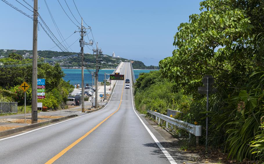
I drove about an hour and a half from the mid-section of Okinawa’s main island until I finally reached Kouri Ohashi, a bridge connecting it to Kouri Island.
The small island of Kouri spans approximately approx. 773 acres of land in a 4.9-mile circumference and has six beaches to enjoy. I was curious to see what had changed since my last visit and was really looking forward to getting into the water.
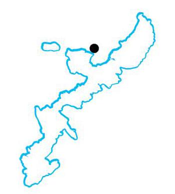
Okinawa map (Photo by Stripes Okinawa)
Crowded Kouri Beach and quiet Chigunu Hama
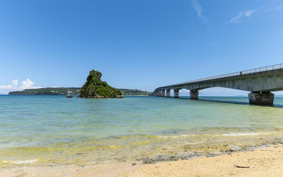
My first stop was Kouri Beach, located right by the bridge. This beach, arguably the island’s main beach, commanded an iconic view of the bridge and Motobu Peninsula.
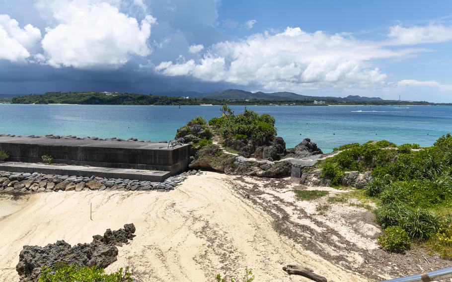
When I arrived at the end of the bridge, however, I could see the sandy shore was crowded with tourists. Being weary of the congestion, I dropped my initial plan and headed to Chigunu Hama, a small beach just a five-minute walk away.
Kouri Bridge (Photo by Shoji Kudaka)
Kouri Bridge (Photo by Shoji Kudaka)
Kouri Bridge (Photo by Shoji Kudaka)
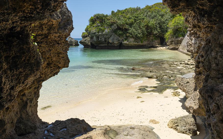
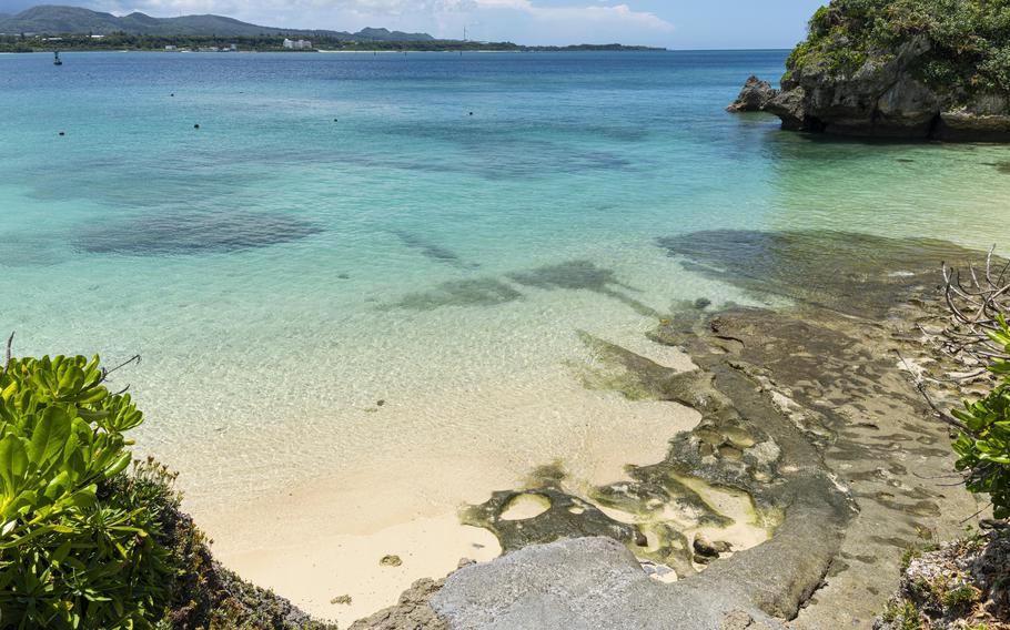
To access the small beach, I walked on Shirasa Misaki cape, a group of rocks that stretched toward the ocean like a pier. As I took the stone stairs, I noticed Haijimari no Dokutsu (grotto of a beginning), a huge hole cutting through the bottom of the cape.
A local legend tells of a couple who lived here in ancient times, which locals believe were the earliest ancestors of today’s Okinawans, according to the Okinawa Prefectural Government (OPG).
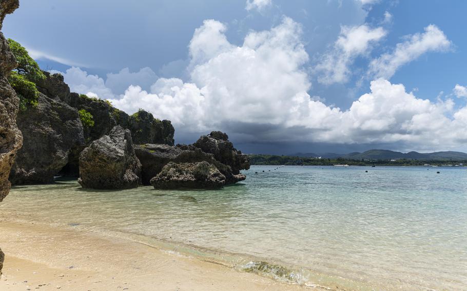
The grotto looked compact and seemed more like an arch. Going through its arch, however, the small cave served as a comfortable shelter from the strong sunshine. I sat down and enjoyed a superb view of the ocean quietly shining in emerald green.
Only one person was swimming, having the beautiful waters all to himself. Looking at the sea made me want to get in the water myself. But when I was returning to my car to change into my swimsuit, I saw Chigunu Hama was little more crowded than before and decided to also skip a dip there.
Chigunu Hama (Photo by Shoji Kudaka)
Chigunu Hama (Photo by Shoji Kudaka)
Chigunu Hama (Photo by Shoji Kudaka)
Chigunu Hama (Photo by Shoji Kudaka)
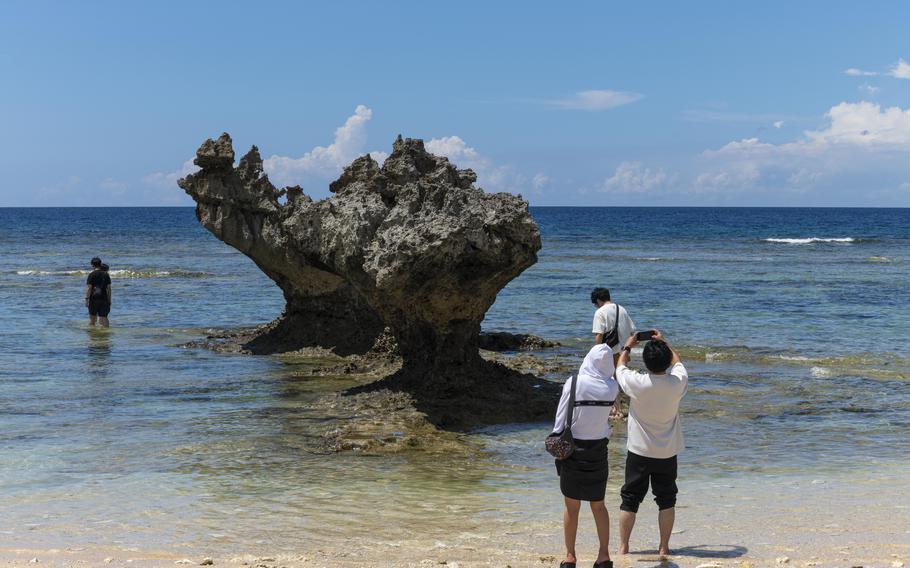
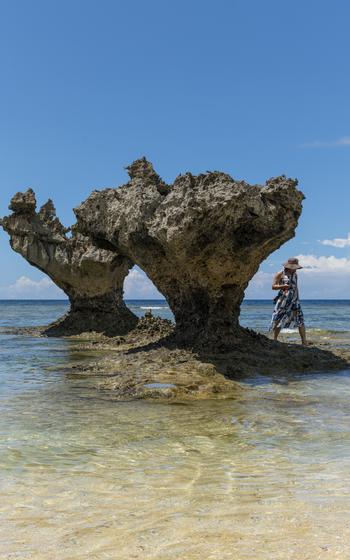
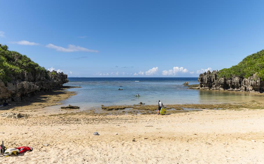
Teenu Hama
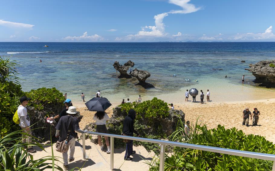
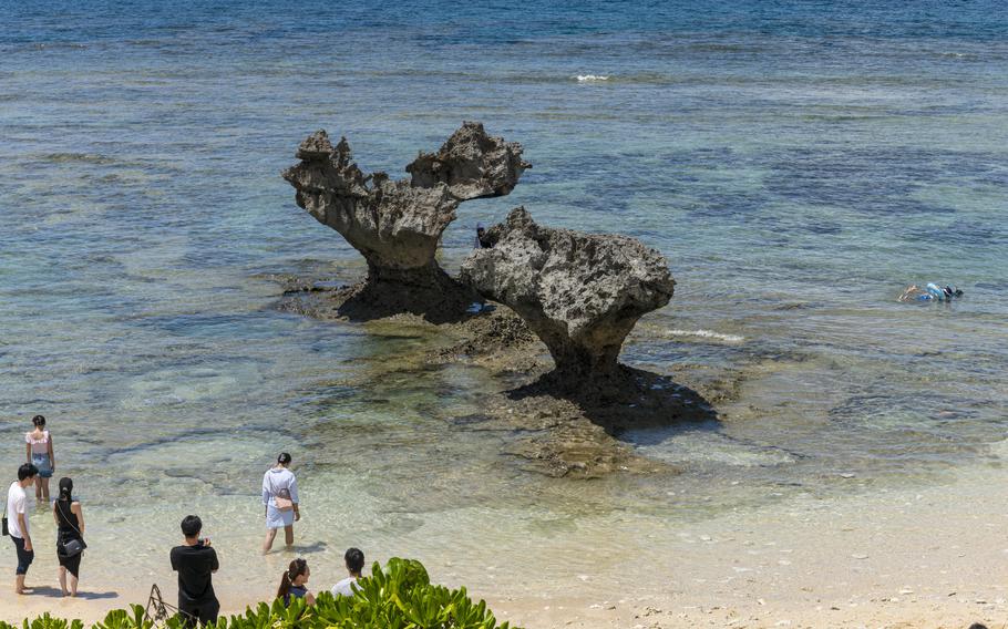
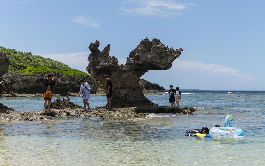
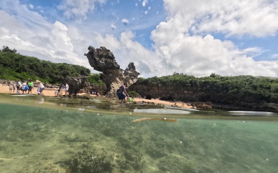
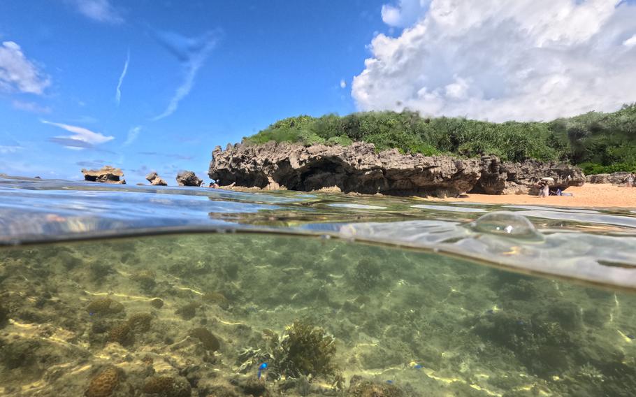
I hopped back in my car for a five-minute drive to Teenu Hama (or Tiinu Hama), a popular beach on the north shore known for its “Heart Rock”, a pair of two rocks in the shape of a heart.
Five years ago, this place was packed with tourists just photographing the heart rocks and not swimming. This time, I was surprised to see many swimming around the iconic rocks. Also new were shower and bathroom facilities.
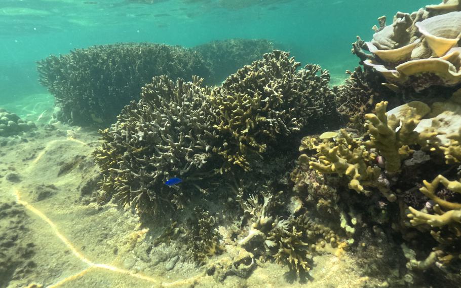
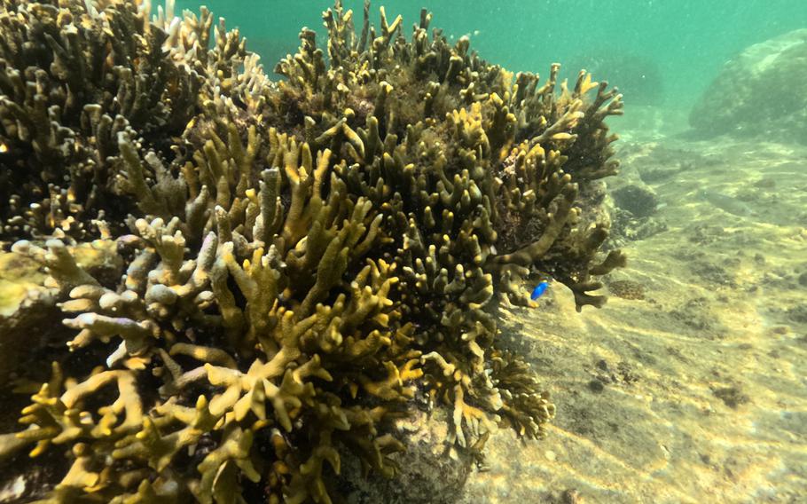
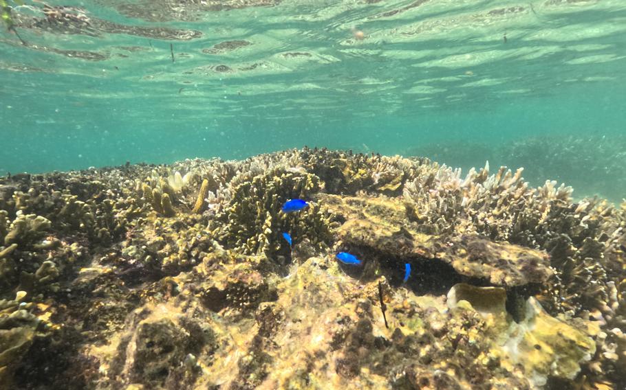
As soon as I dipped into the shallow waters, coral came into view. I enjoyed floating like a kid surrounded by dozens of tropical fish.
Teenu Hama (Photo by Shoji Kudaka)
Teenu Hama (Photo by Shoji Kudaka)
Teenu Hama (Photo by Shoji Kudaka)
Teenu Hama (Photo by Shoji Kudaka)
Teenu Hama (Photo by Shoji Kudaka)
Teenu Hama (Photo by Shoji Kudaka)
underwater (Photo by Shoji Kudaka)
underwater (Photo by Shoji Kudaka)
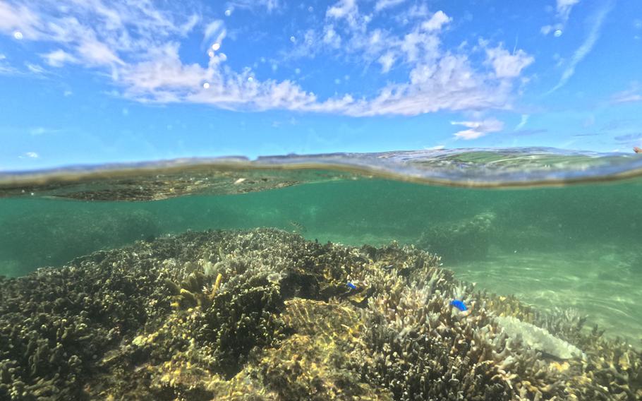
underwater (Photo by Shoji Kudaka)
underwater (Photo by Shoji Kudaka)
underwater (Photo by Shoji Kudaka)
underwater (Photo by Shoji Kudaka)
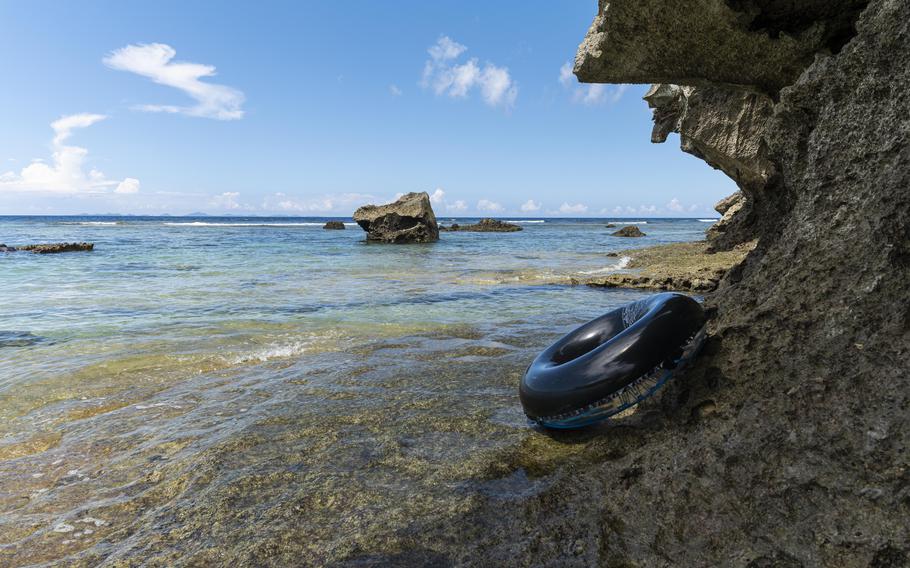
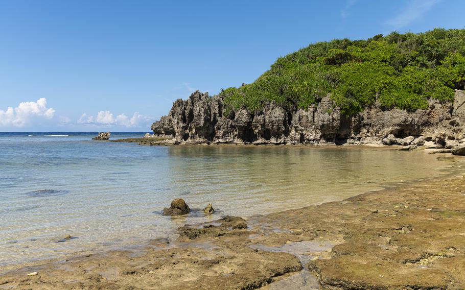
Tokei Hama
When I got back on shore, it was around 2 p.m. There were still several hours to spend before the sun went down. So, I headed to my next stop, Tokei Hama, another beach on Kouri’s northern shore.
To get there, I walked for 10 minutes from Teenu Hama. I could have gone there by car as well, but I decided not to since the road was very narrow.
Like Chigunu Hama, the first beach I tried, Teenu Hama also looked like a private beach area for a small number of people.
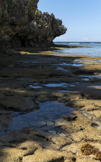
The tide was still low, and the peaceful ocean looked very enticing. The idea of getting in the water again crossed my mind, but I decided not to; I had already changed clothes and left my wet swimsuit behind in my car. It was too daunting for me to take another 10-minute walk round trip. But I enjoyed the shade by large rocks whose bottoms were encroached by water to the shape of a mushroom (called “Niikajiraa” in Okinawan dialect).
Later, I learned that this beach is also home to unique rocks, each of which is punctured with a large pothole as well. Since I missed these rocks this time, I will need to go back later and find them.
Tokei Hama (Photo by Shoji Kudaka)
Tokei Hama (Photo by Shoji Kudaka)
Tokei Hama (Photo by Shoji Kudaka)
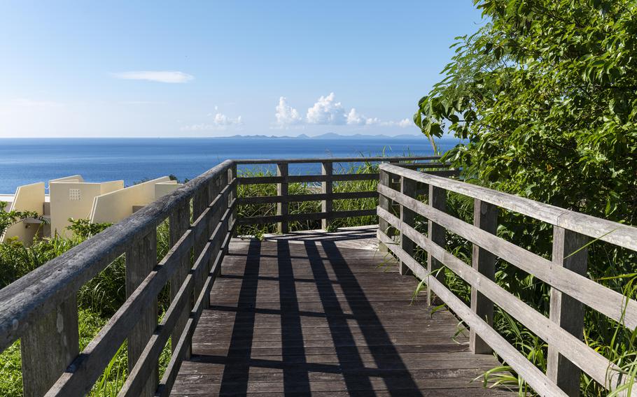
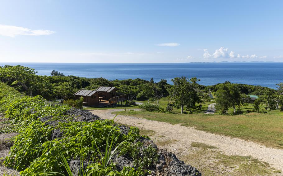
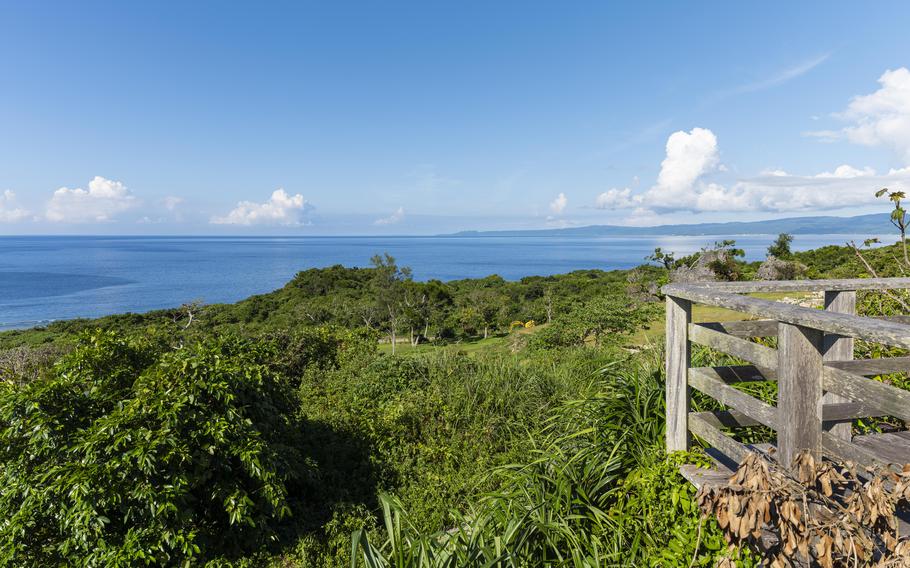
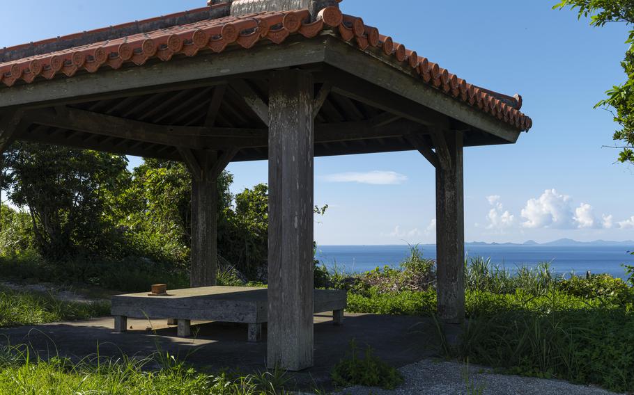
Toomiyaa
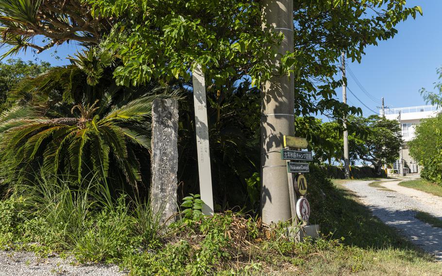
After visiting three of Kouri Island’s beaches, I was satisfied but I wanted to swing by Toomiyaa-ato (remains), a viewing spot that boasts a height of 107 meters. According to Nakijin Tourism Association, this location served as a watch stand during the times of the Ryukyu Kingdom (1429 – 1879) to make smoke signals and to send a warning to Okinawa’s main island.
Today, visitors at Amajafubaru Rural Park can walk on a boardwalk while enjoying the superb view of the ocean and the northern part of Kouri Island.
I was very much looking forward to seeing the beautiful ocean from the vantage point, but getting there was a bit difficult. Following a sign which stood at (26.709465, 128.021766), I went up a slope on a narrow road. At a certain point, the road turned into an unpaved farm road, which made me nervous. After following signs that said “アマジャフバル農村公園” (Amajafubaru Rural Park in Japanese), I found myself at the entrance to the park. It was a bit of a struggle, but it was all worth it because the superb view was rejuvenating.
Toomiyaa (Photo by Shoji Kudaka)
Toomiyaa (Photo by Shoji Kudaka)
Toomiyaa (Photo by Shoji Kudaka)
Toomiyaa (Photo by Shoji Kudaka)
Toomiyaa (Photo by Shoji Kudaka)
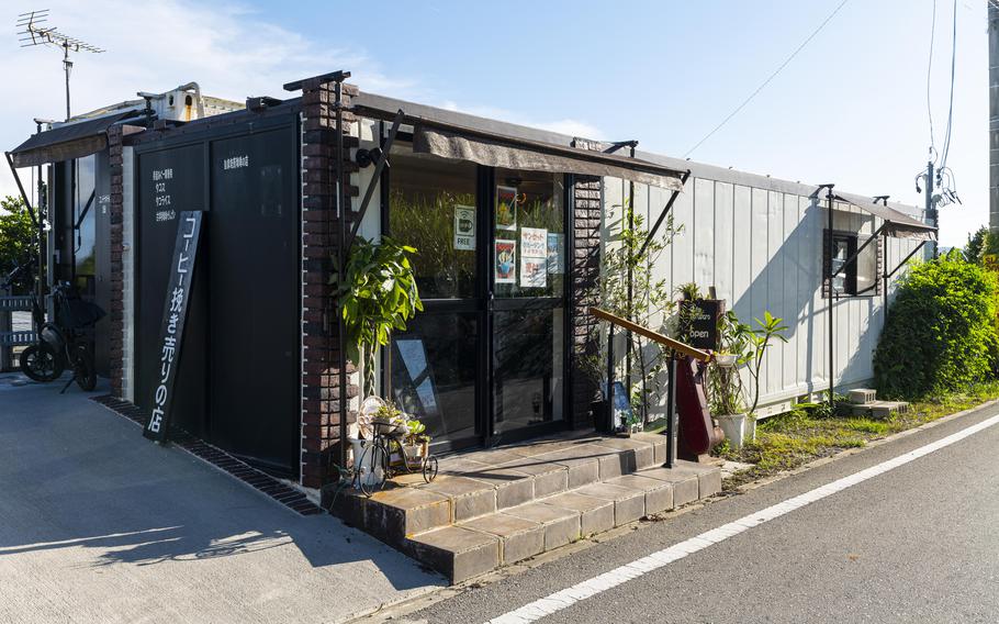
Café Paru Paro
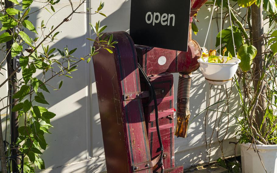
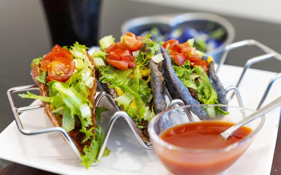
When I left Toomiyaa, it was already past 4 p.m. I knew I had to depart soon to avoid heavy traffic, but down the road, a flag with the word taco on it in front of a small, square house convinced me it was time for a detour.
Tacos at Café Paru Paro seemed like a perfect meal to end a beach trip. I pulled over and went inside the small shop.
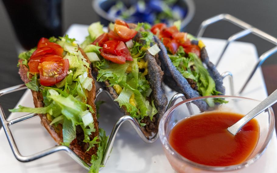
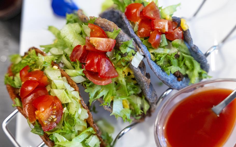
I took a seat close to the café’s counter and ordered colorful tacos in (Blue Butterfly Pea and pink beets for 900 yen) and coupled it with a coffee (300 yen) for a total of 1,320 yen (approx. $9.10) with tax. While I was waiting for my order, Takeshi Ohama, the café’s owner joined me and explained that his taco is popular among Americans.
“Some of them even eat the taco two times a day,” said the owner, who also runs a hotel nearby.
When the food was brought to the table, the colorful taco shells caught my eye. The blue butterfly pea taco was a beautiful purple color and the beet one was a bright, eye-popping pink. Usually, the set comes with a black charcoal shell taco, but it was sold out during my visit.
With one bite, the sweet and spicy taste of the ground meat topped with fresh lettuce and tomato really hit the spot.
According to an employee at the café, the ground meat was a mix of Agu pork and beef and the vegetables were farmed without pesticides.
Café Paru Paro (Photo by Shoji Kudaka)
Café Paru Paro (Photo by Shoji Kudaka)
Café Paru Paro (Photo by Shoji Kudaka)
Café Paru Paro (Photo by Shoji Kudaka)
Café Paru Paro (Photo by Shoji Kudaka)
Way back home
When I finally hit the road, it was already past 5 p.m. The bright sun was finally starting to set, and many drivers were on the road heading south, just like me.
Although I was well behind my intended schedule and I was stuck in traffic I wanted to avoid, the beautiful beaches and my time on Kouri Island were well worth a little delay.
THINGS TO KNOW
Chigunu Hama
GPS Coordinates: 26.696491, 128.014808
*No parking space available on site. I utilized the parking space in Sorahashi Roadside Station (26.696376, 128.018757) and took a five-minute walk.
Teenu Hama
GPS Coordinates: 26.713698, 128.014807
Parking is 200 yen. There are several parking spaces around the area and their fees vary around several hundred yen, according to several travel sites.
Tokei Hama
GPS Coordinates: 26.713574, 128.018811
Parking costs 300 yen.
Toomiyaa / Amajafubaru Rural Park
GPS Coordinates: 26.707263, 128.017595
Free Parking Space Available
Café Paru Paro
GPS Coordinates: 26.698235, 128.018997
Hours: 11 a.m. – 7 p.m.
Closed on Mon. and Tue.