Photos by Shoji Kudaka ()
Mt. Ishikawa borders Uruma City, Kin Town, and Onna Village on Okinawa. Just about a 40-minute drive from Camp Foster, the area is a popular destination for hikers and mountain climbers who are looking for a quick getaway.
The mountain offers three different courses from easy to difficult, so it’s perfect for hikers of all levels. If you plan to visit, make sure to stop at the Okinawa Prefecture Ishikawa Youth Center to sign in first.The youth center is responsible for making sure all the climbers are accounted for. In the past, the center’s staff had to wait long after 5 p.m. for the climbers to come back. Please come back by 5 p.m.
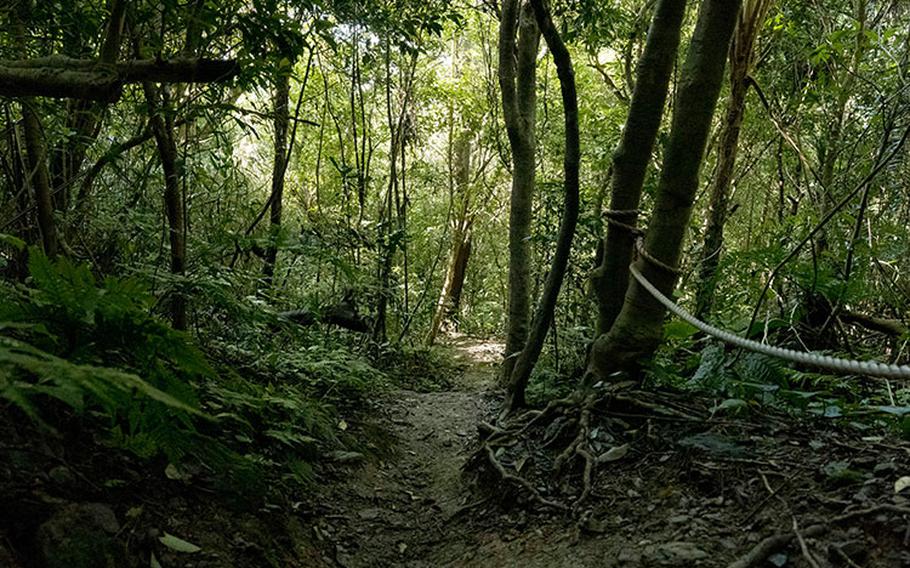
On my trip, I opted for Course B, which runs roughly two kilometers and takes about a two-hour trek round trip.
Though Mt. Ishikawa’s 204 meters in height might mislead you into thinking it’s an easy hike, don’t let it fool you— you’ll be sweating a lot along the steep trail inclines!
Things to know
GPS Coordinates for Ishikawa-dake (Mt. Ishikawa): N 26.44333, E 127.83489 (Okinawa Prefecture Ishikawa Youth Center)
Parking space is available by the gate of the youth center.
Hiking hours are from 8:30 a.m. to 3 p.m. (The gate opens at 8:30 a.m. and closes at 5 p.m.)
*Closed on Mondays. (If a Monday falls on a national holiday the trails are open, but closed the following day. Closed on Dec. 29 through Jan. 3 as well.)
*Mountain climbers/trekkers who head to Mt. Ishikawa are required to sign in and out at the reception desk. The youth center is responsible for making sure all the climbers are accounted for. In the past, the center’s staff had to wait long after 5 p.m. for the climbers to come back. Please come back by 5 p.m.
*Wear proper attire for mountain climbing. Hat/cap, long-sleeve shirt, long trousers, and gloves are recommended. Please avoid wearing shorts, sandals, and slippers.
*Bathrooms are only available near the reception desk.
*No littering, no pets, and no marking of trails with tape are allowed on the mountain.
*Stay hydrated. There are vending machines near the reception desk.
*Course A runs roughly one kilometer, which will take one to 1.5 hours to complete for a round trip. Course B is two kilometers long, which will require about two to three hours. Course C is a 3-km trail for a 3- to 5-hour trek.