(Photo by Shoji Kudaka)
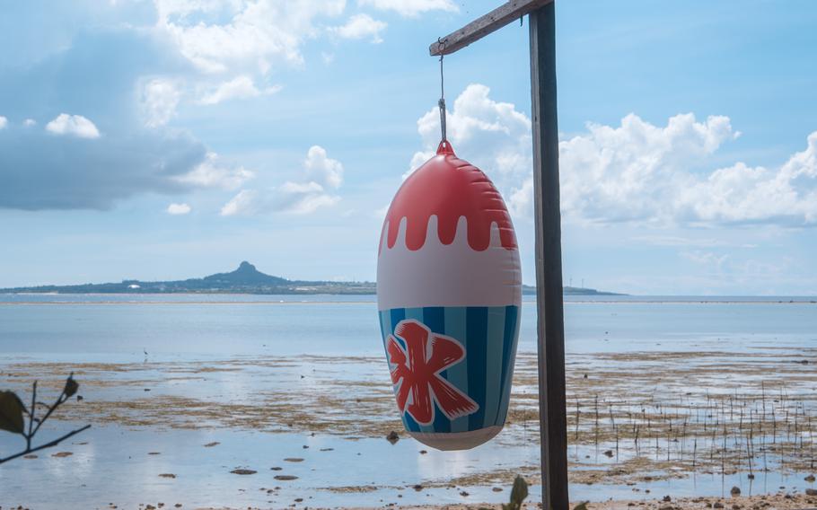
Besezaki, or Cape Bise, is located at the northwest corner of Motobu Peninsula in the northern part of Okinawa’s main island. It is known for its beautiful beach and unique landscape.
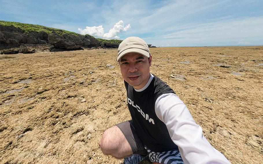
Though I’d visited Bise Settlement several times, I’d never stopped at the beach on the northern end of the street before. The curious landscape intrigued me to stop after my recent trip to Ie Island.
Getting to this beach was a bit complicated. Reaching Motobu Peninsula by driving two hours from the mid-section of the island was simple, but the last 10 minutes were spent maneuvering Bise’s tiny roads. It was daunting.
By the time I got to the gate, it was already 1 p.m. I paid the 500-yen parking fee (about $3.42) and quickly changed into a swimsuit and headed to the sandy shore.
Although this is a secluded spot, there were surprisingly many tourists having fun in the water.
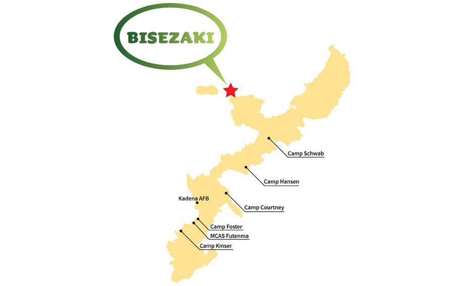
(Map by Stripes Okinawa)
‘MIIUGAN’
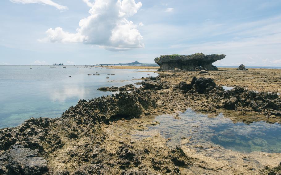
My first plan was to join the others and just take it easy. But as I approached the water, a small island in an elongated shape running from southeast to northwest came into my sight. According to a billboard posted on site, this island called “Miiugan” by the locals.
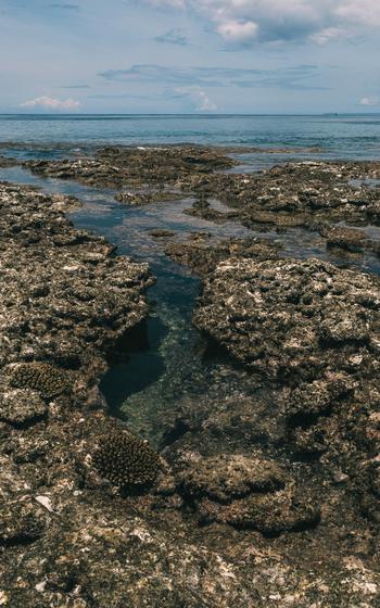
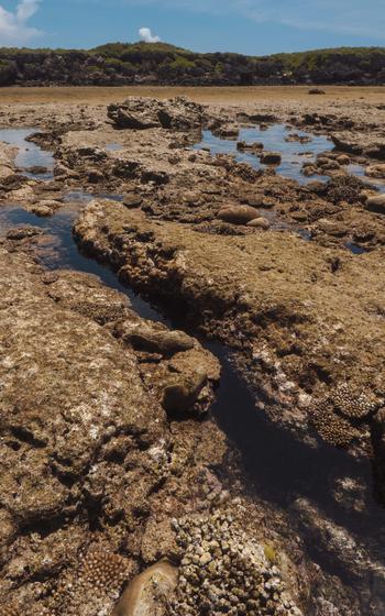
The broad coral reef was exposed by the low tide and the small island was then accessible from the beach. I changed my plan to splash around and instead made my way toward Miiugan for some exploration.
On the way, I spent some time observing tropical fish in the shallow waters. Blue damselfish were busy cruising through the sunlit water or taking it easy in the shade of the coral.
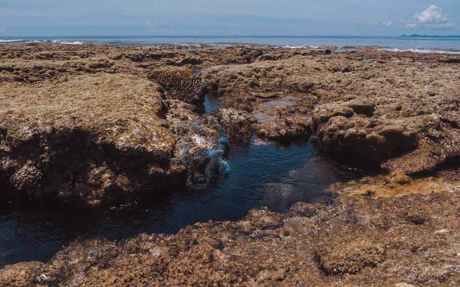
Most portions of the reef were dry, but there were still water puddles here and there. As I accidentally stepped in some of them, I was surprised to find how hot the water felt due to the strong sunshine.
(Photo by Shoji Kudaka)
(Photo by Shoji Kudaka)
(Photo by Shoji Kudaka)
(Photo by Shoji Kudaka)
According to the signage, the island measures around 400 meters or more on each side. The number didn’t seem big when I first saw it, but as I reached the island, the distance looked enormous. The exposed coral reefs spread toward the horizon like a desert by the sea. Many puddles dotting the surface seemed like small oases, or onsens, given their temperature.
A few fishermen were casting lines on the border between the reef and the sea. Trying to join the anglers, I walked away from the small island and toward the edge of the reef. But I stopped on the way as I spotted many crevices, offering a peek into the deep ocean underneath.
Even 10 meters from the edge, the view was extraordinary, like standing in the middle of the ocean.
After a while, I headed back to the small island, walking toward its northwest point.
Along the way, I spotted a cave that runs through its rock walls, which could have led me to the other (south) side of the island.
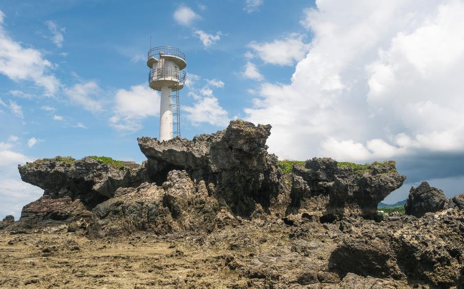
Soon I reached the foot of a lighthouse. I circled the tip of the small cape and found stone steps that leading to the high ground where the lighthouse stood. As I was trying to approach the steps, huge rocks were standing in the way, so getting wet was inevitable to reach the steps.
(Photo by Shoji Kudaka)
(Photo by Shoji Kudaka)
(Photo by Shoji Kudaka)
I didn’t want to get in the water then, so I carried on toward the end of the reef instead of continuing to the lighthouse.
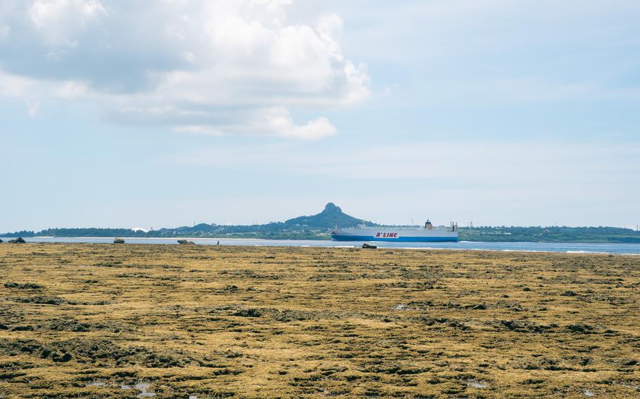
Beyond the sea, I could now see Ie Island, a remote island which I had visited only a month ago.
Mt. Gusuku, Ie Island’s symbol, seemed to lure me and the broad, flat ground almost made it feel like I could keep walking over the ocean toward Ie.
At the edge of the coast, the deep blue water started to rise, bringing me back to reality. The tide would soon rise again, so it was time to go back to Bise Beach.
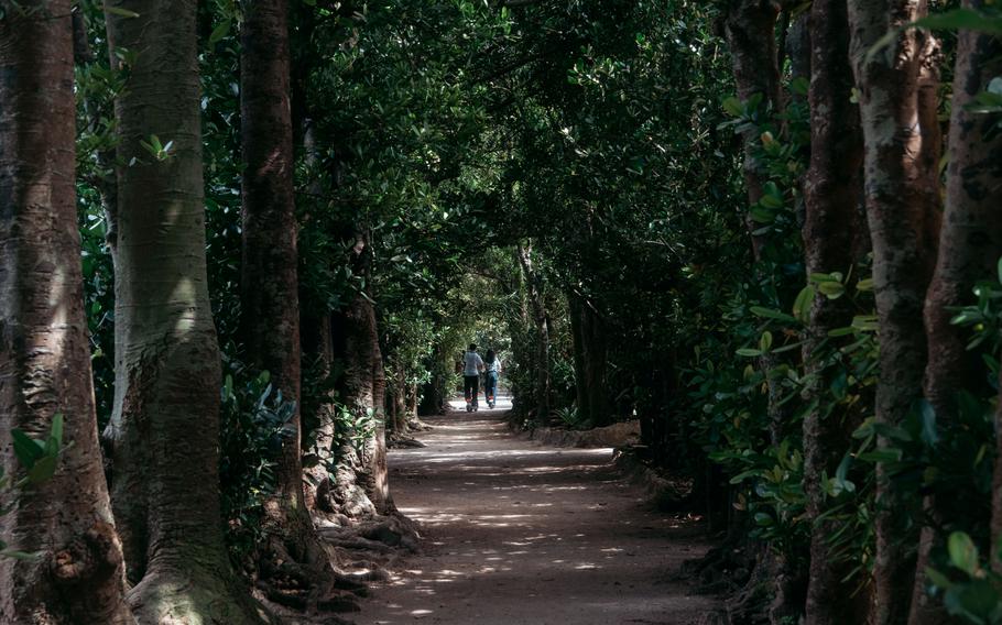
FUKUGI STREET
Once I was back on the main island, I headed to Bise Settlement for a walk along the old streets lined with fukugi trees. The tall trees are called “fukugi” in Japanese, but in Chinese letters, the name means “Good Luck Tree.”
There is an estimated 18,000 fukugi trees lining the streets in Bise Settlement alone. These trees have been there since the Ryukyu Kingdom (1429-1879), according to the Ministry of Land, Infrastructure, Transport and Tourism. Fukugi trees are impressive and functional as they were used as fences or windbreakers, which is why local residents have taken good care of them.
Walking in the shade of the trees’ thick green leaves, I enjoyed the calm atmosphere.
(Photo by Shoji Kudaka)
The last time I went there, some folks were riding a water buffalo cart. However, the activity is now available only on weekends, so tourists were riding e-scooters instead on the Wednesday I visited. The change of time felt a bit melancholic.
The streets run for about 1 kilometer north to south, parallel to the west coast of Motobu Peninsula. They were connected to each other by smaller streets called “sooji.” Going from one street to another, it almost felt like being in a labyrinth.
Although there were cafés and eateries along the streets, many of them were closed when I passed them around 3 p.m. Luckily, I found Parlor Hajimekunchi, a small shaved-ice store.
I bought a cup of mango-flavored shaved ice for just 200 yen and added a condensed milk topping for 50 yen. Although it was nothing fancy, the shaved ice was a nice, inexpensive treat to pair with the beautiful ocean view.
Bisezaki
GPS Coordinates: 26.709732, 127.880075
Parking fee: 500 yen
Fukugi Street
GPS Coordinates: 26.707970, 127.880858 (north end)
Parlor Hajimekunchi
GPS Coordinates: 26.705467, 127.880591
No fixed business hours, according to the shop owner.